
Cedar Hill Neighbors by Block
Public sources answer narrow questions about nearby parcels. A parcel map shows the physical pattern of lots. An appraisal card shows the assessed owner and separate address fields. A deed index can explain a transfer. The state voter service is an individual status tool, not a block roster. City neighborhood pages offer public association and community context, but they are not membership lists. Work outward from one verified parcel and keep the source field with each fact.
| Source | What It Shows About a Block | Access |
|---|---|---|
| DCAD map and cards | Dallas-side parcel boundaries, account, owner, situs, mailing field, legal description, and appraisal context | Public property search and map route; not a full person list. |
| Ellis GIS and ECAD | Ellis-side adjacent polygons, roads, address layers, and appraisal context | Public GIS map and data routes; the exact ECAD live field form was not verified. |
| Dallas or Ellis deed records | Transfers, legal descriptions, grantors, grantees, and recording dates for parcel trails | Dallas online index, Ellis LGS, clerk counter, or a precise request. |
| Texas SOS voter status | Individual status and defined public fields when permitted | Identity-based form; not a map or unrestricted block file. |
| Cedar Hill Neighborhood Directory | Public neighborhood pages, association websites, newsletters, calendars, and resources | Public community information; individual members may not be listed. |
A parcel owner may use a mailing address that is different from the property address. That field can be a useful record lead, but it should be labeled as mailing information, not as a current residence. A homestead or value line is also an appraisal detail, not a complete answer to who lives nearby.
Cedar Hill Neighbor Parcel Process
Use the block process to identify adjacent parcels without making assumptions about the people connected to them. Dallas County routes parcel information to DCAD. On the Ellis side, the county GIS portal supplies parcel, addressing, and road layers. The result is a map-based orientation tool. It becomes a records trail only after each selected polygon is checked against the matching appraisal or clerk source.
- Confirm whether the target Cedar Hill parcel is in Dallas County or the Ellis County portion of the city. A postal city does not decide the custodian.
- Open the target in DCAD's account map or in Ellis GIS. Record the account, situs, legal description, and street name before moving to another parcel.
- Select parcels that share a boundary or front the same stretch of street. In Ellis GIS, turn on parcel, address, and road layers after accepting the portal terms if prompted.
- Open the individual appraisal card for each selected parcel. Keep owner, mailing field, situs, and legal description as separate values.
- For a transfer question, use the legal description or owner name in the county deed index. For a full named-street history, use the Cedar Hill street directory workflow.
Measure and sketch tools are useful for orientation only. Cedar Hill's zoning-map materials describe geographic information as reference material without warranty, so a drawn distance or visible boundary should not be treated as a legal conclusion.
Cedar Hill Ellis GIS Parcels
The southern Cedar Hill area needs an Ellis County route even when the postal address says Cedar Hill. Ellis County GIS provides the public portal for parcel, addressing, and map layers, while the county's parcel-data page points to ECAD, its web map, and ownership or parcel data routes. The research did not establish the exact live ECAD owner or address-search fields. That gap matters: do not invent a search form or transfer a Dallas County result to an Ellis parcel.
Open the official Ellis GIS parcel portal to view the public layer choices before locating the target address.
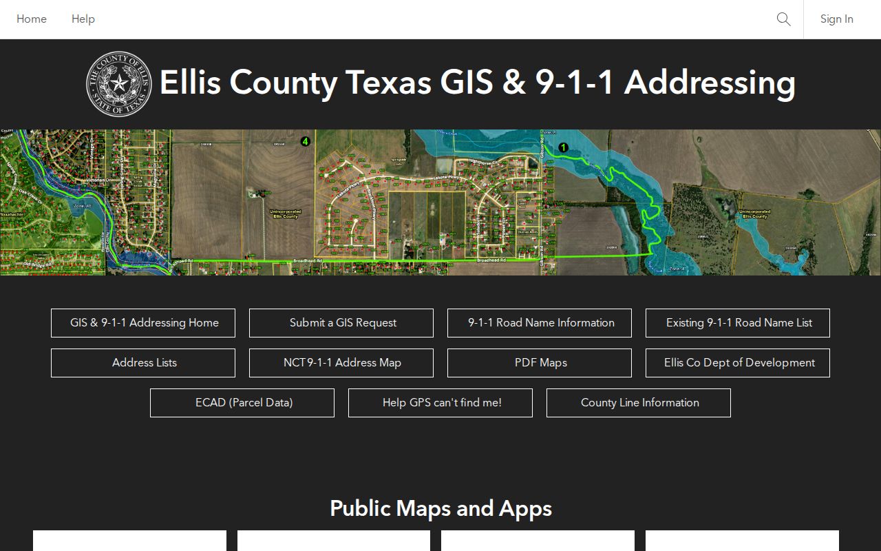
The portal is especially useful for checking which polygons surround an Ellis-side address, then sending ownership or document questions to ECAD or the Ellis County Clerk.
Note: Dallas County collects Cedar Hill property taxes for both counties, but the collector is not the appraisal district or deed custodian.
Cedar Hill Neighbor Record Fields
DCAD has separate owner, account, street-address, business-name, and map routes. The street form uses a required numeric address number and a street name with at least two characters. Street type is omitted, and a percent sign can act as a wildcard. A Dallas-side parcel card can show account number, current owner, owner percentages, mailing address, location or situs address, legal description, neighborhood or map area, transfer date, values, exemptions, and history. It remains an appraisal record rather than a title document or proof of occupancy.
For a stronger property answer, search the Dallas official-records index by address, subdivision, or legal description, then check the current owner as grantee. The county index can supply a grantor, grantee, instrument number, recording date, and a prior instrument reference. Ellis property documents follow the Ellis clerk and LGS path, but the verified research does not supply an exact online cutoff. A clerk counter or written request is the appropriate fallback when an image or older result is missing.
- Situs address
- The physical location field assigned to a parcel. It is distinct from the address used for tax mail.
- Mailing address
- The address shown for notices or tax correspondence. It may belong to an owner, agent, or other recipient and should not be relabeled as a residence.
- Legal description
- The recorded parcel description, often using subdivision, lot, block, or plat terms. It helps join an appraisal card to deed records.
- Adjacent parcel
- A polygon sharing a boundary with the target lot. It says nothing by itself about a shared household or relationship.
Cedar Hill Neighborhood Directory
The city Neighborhood Directory is the public community layer for a Cedar Hill block. It offers neighborhood pages, association websites, newsletters, calendars, community resources, and a directory form. Neighborhood Services separates HOA, PID, and Neighborhood Watch information. A PID is funded by property-owner tax assessments, while an HOA and a watch group serve different purposes. Public contact pages and notices help identify community activity without making a roster public.
| Community channel | Published path and contact |
|---|---|
| Neighborhood Directory | Neighborhood web pages, association links, newsletters, calendars, resources, and the city directory form. |
| Neighborhood Services | HOA, PID, and Neighborhood Watch tabs; 469-272-2801, weekdays 8:00 a.m. to 5:00 p.m. |
| Public neighborhood examples | Bear Creek Ranch, High Pointe, Lake Ridge, Waterford Oaks, Wildflower, Winterhaven, and Wooded Creek appear in the city material as examples, not current membership lists. |
A 2020 city presentation identified 59 neighborhoods and 41 registered online. That is a dated inventory, not a current count or a complete boundary map. Current registration and individual member directories were not located in the official research. Congregation, civic, and block-watch rosters are generally private even when a public-facing contact or meeting notice exists.
Cedar Hill Neighbor Voter Limits
The Texas SOS voter service is designed for an individual status or registration check. It uses a registered name with a date-of-birth qualifier or voter identifier, and it can route a result by county or address prompts. It is not a street browser, parcel map, or visitor-facing list of people around a Cedar Hill address. Texas guidance treats phone numbers, Social Security information, and driver-license or state-ID data as confidential. Election records also have protected-address rules and formal county or state request procedures.
At the block level, the right response is to use the official form for the one person whose identity may be checked, or to ask the Dallas or Ellis registrar for an existing non-exempt election record using the required process. A map of nearby addresses does not create a right to publish a block roster. A nonmatch may reflect a name variation, recent move, inactive status, county mismatch, or an eligible suppression rather than an answer about who lives at a parcel.
Cedar Hill Neighbor Source Comparison
Official sources preserve the fields and dates assigned by a custodian. Commercial neighbor tools can combine public and proprietary information, but their address associations can be old or merge people with similar names. For Cedar Hill, the official parcel card and clerk index make the strongest starting record because they show the source field, parcel, instrument, or date that supports the result. A private listing is not a substitute for that trail.
| Source category | Useful for | Limit |
|---|---|---|
| Official parcel and deed records | Owner fields, parcel identity, legal description, transfer history, and recorded parties | They do not identify every person associated with an address. |
| Official community pages | Association websites, public newsletters, calendars, and resources | They do not establish membership or home address. |
| Commercial neighbor category | Possible historical leads that require independent confirmation | Cost, correction, and opt-out practices vary; data may be stale or merged. |
Free county property-fraud alerts are a separate consumer-safety layer. They alert when a monitored name appears in a real-property filing. They do not prove ownership, prevent fraud, or replace title review.
Cedar Hill Parcel Alert Option
Ellis County Property-Fraud Alert is free. The county describes exact-name email or phone alerts when a monitored name appears as a grantor or grantee in more than 90 document types. The alert is an early-warning service. It does not stop a fraudulent filing and it does not decide title. Use the official clerk, instrument, and legal description to examine any alert.
Review the official Ellis County alert instructions before submitting a name.
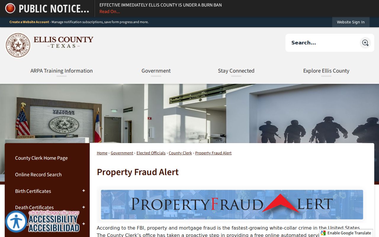
Dallas County also offers a free property-alert path, so a Cedar Hill parcel should be monitored through the county that records its documents.
Note: Verify an unexpected deed or alert directly with the county clerk using contact information from the official county domain.
Cedar Hill Neighbor Privacy Limits
Some information about a block is not a public neighbor record. Household members absent from owner records, utility and delivery information, motor-vehicle data, restricted court and vital material, protected voter addresses, and ACP addresses must remain private. The Texas Attorney General's Address Confidentiality Program provides eligible participants with a substitute mailing address and mail forwarding. Do not try to defeat a protected address by combining map, voter, directory, or historic mailing clues.
Texas's privacy law for covered private businesses does not erase government records. A correction request belongs with the office that maintains the field, such as an appraisal district, county clerk, or registrar. A private service's suppression process is separate and does not change a county record. For a government record request, identify the existing item sought and ask for any non-exempt portion with required redactions.
Lawful use. Use Cedar Hill neighbor records for personal, lawful neighborhood curiosity, reconnecting, property questions, or community context. Do not use an address, parcel map, or public contact to watch, stalk, harass, intimidate, or harm anyone.